Richland County, South Carolina, has endured the pollution of many of our creeks from haphazard development. Ridge Road community is determined not to let this happen to Cedar Creek.
We understand that change is going to happen, our aim is to preserve the best aspects of our community, the things that drew us to live here in the first place.
Who We Are
We are a group of Lower Richland residents dedicated to stopping developments that threaten our local water.
Our Mission
To protect and promote the best interests of residents while also preserving the Cedar Creek Watershed Corridor as environmental stewards.
How to Help
We appreciate any support you are able to provide—be it donating, volunteering, or emailing us with your advice.
Our Goals
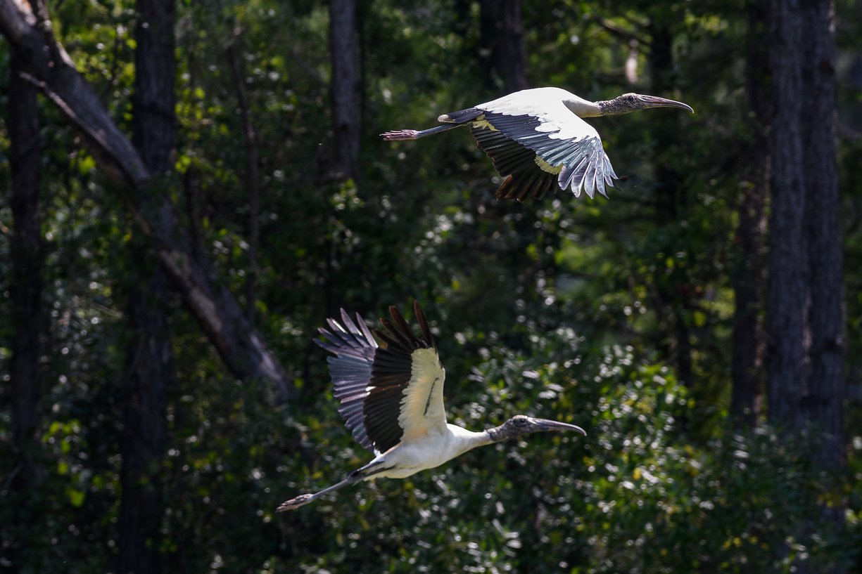
Our goal is to keep Cedar Creek and the entire Cedar Creek Corridor environmentally healthy now and for future generations. We want to be good stewards of the land by doing everything in our power to stop any development that threatens the ecosystem, the watershed, the wildlife, and/or the quiet rule character of the community.
-
Calling out those who are attempting to develop in and around the corridor and those who are facilitating and supporting it without consideration for the environment, without consideration for the rural character, and without communicating with the community.
-
Supporting local and state leaders who recognize the need to put the environment first, support and protect the community’s needs and investments, are proactive and progressive in protecting the Lower Richland community, and put Quality-of-life before profits in the pockets of non-resident developers.
-
Making sure the community is informed and has opportunity to be involved through face-to-face communications, community meetings, flyers, email, and an informative website.
What is the Richland County Tourism Plan?
The Lower Richland Tourism Plan is a vision for a sustainable, inclusive tourism economy in Lower Richland that builds on and strengthens local Nature and Heritage assets.
Lower Richland has an incredible wealth of natural and heritage resources. The region’s history and culture are deeply intertwined with the Congaree bottomlands along the Congaree River, which are world-class natural environmental areas that feature the Congaree National Park.
Local historians have worked to uncover histories of Native American and African-American areas. And Linguist Blair A. Rude suggested that the name “Congaree” is possibly a rendering of khukari - Catawban for “over there, out of sight”).
This plan seeks to bring these natural and heritage resources to the forefront, creating the connections to ensure tourism will help the local community thrive.
Currently, Lower Richland contains few lodging options and few retail, restaurant, and dry goods options for residents or visitors.
This situation offers immediate opportunity for options that will complement the national park’s offerings, and for new, locally owned businesses to serve existing visitors as well as new tourism traffic in the area.
Two important parcels are the 680 acre Cabin Branch tract and the 2555 acre Mill Creek tract, located directly on the Congaree River. Mill Creek, in particular presents a major opportunity to showcase the Congaree bottomlands. Both Cabin Branch and Mill Creek sites are featured throughout this plan, although the plan covers all of Lower Richland and includes mini hubs, corridors, and Natural and Heritage assets.
Cedar Creek Nature Preserve Park on Ridge Road will be a part of that plan.
Lower Richland residents are united in advancing the idea that tourism must be sustainable, meaning that it must leverage, support, and enhance local natural and heritage assets rather than harming these assets through overuse or highly intensive developments. The plan also takes into consideration the idea of the economic opportunity to be generated. The final plan must be inclusive and provide economic, recreational, and quality-of-life benefits for the Community.